UN
82 Brent Lea
£ 220,000
Description
We don't have a Description for this property.
- Bedrooms
- 3
- Bathrooms
- 0
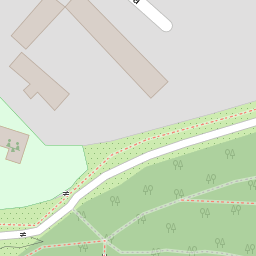
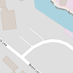
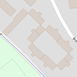
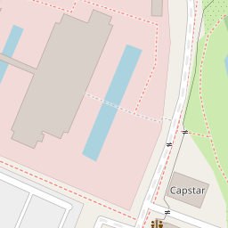
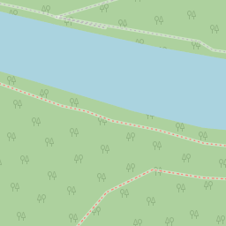

Leaflet © OpenStreetMap contributors
The heatmap indicates the level of crime in the area. The color of the heatmap indicates the crime severity and recency.
Metrics Year-on-Year
- Average area value
- 507,917.00 £Decreased by 3.21 %
- Average area rental value
- 1,957.00 £/moIncreased by 10.32 %
- Est rental Yield
- 4.62 %Increased by 13.79 %
- Crime Rate
- 6.00 %Unchanged by 0.00 %
from 524,774.00 £
from 1,774.00 £/mo
from 4.06 %
from 6.00 %
Nearby Schools
| Name | Type | Ofsted | Distance |
|---|---|---|---|
| Brentford School For Girls | Academy Converter | Good | 0.88 KM |
| St Paul'S Cofe Primary School | Voluntary Aided School | Good | 0.98 KM |
| Our Lady And St John'S Catholic Primary School | Voluntary Aided School | Good | 1.13 KM |
| The Green School For Boys | Free Schools | Good | 1.20 KM |
| The Green School For Girls | Academy Converter | 1.37 KM |
Images
Nearby Streets
| Name | Average Price | Average Sqft | Distance |
|---|---|---|---|
| Ronalds Road | £ 0 | 0 | 0.00 KM |
| Field Lane | £ 0 | 0 | 0.00 KM |
| Kingham Avenue | £ 0 | 0 | 0.00 KM |
| Boars Head Yard | £ 0 | 0 | 0.00 KM |
| Brentford Town Square | £ 0 | 0 | 0.00 KM |
Nearby Transport
| Name | NLC | TLC | Distance |
|---|---|---|---|
| Brentford | 5552 | BFD | 0.86 KM |
| Syon Lane | 5609 | SYL | 1.36 KM |
| Richmond | 5570 | RMD | 2.29 KM |
| Isleworth | 5592 | ISL | 2.76 KM |
| St Margarets | 5604 | SMG | 2.93 KM |
Nearby Listings
| Address | Price | Type | Score | Distance |
|---|---|---|---|---|
| Brent Lea, Brentford, TW8 | £ 375,000 | BUY | 5 / 10 | 0.02 KM |
| Brent Lea, Brentford, TW8 | £ 360,000 | BUY | Unknown | 0.13 KM |
| London Road, Brentford | £ 404,950 | BUY | Unknown | 0.15 KM |
| London Road, Brentford | £ 429,950 | BUY | Unknown | 0.15 KM |
| London Road, Brentford, TW8 | £ 375,000 | BUY | 5 / 10 | 0.18 KM |
Nearby Properties
| Address | Price | Distance |
|---|---|---|
| 118 Brent Lea | £ 205,700 | 0.00 KM |
| 81 Brent Lea | £ 218,000 | 0.00 KM |
| 75 Brent Lea | £ 155,000 | 0.00 KM |
| 59 Brent Lea | £ 450,000 | 0.00 KM |
| 119 Brent Lea | £ 353,000 | 0.00 KM |